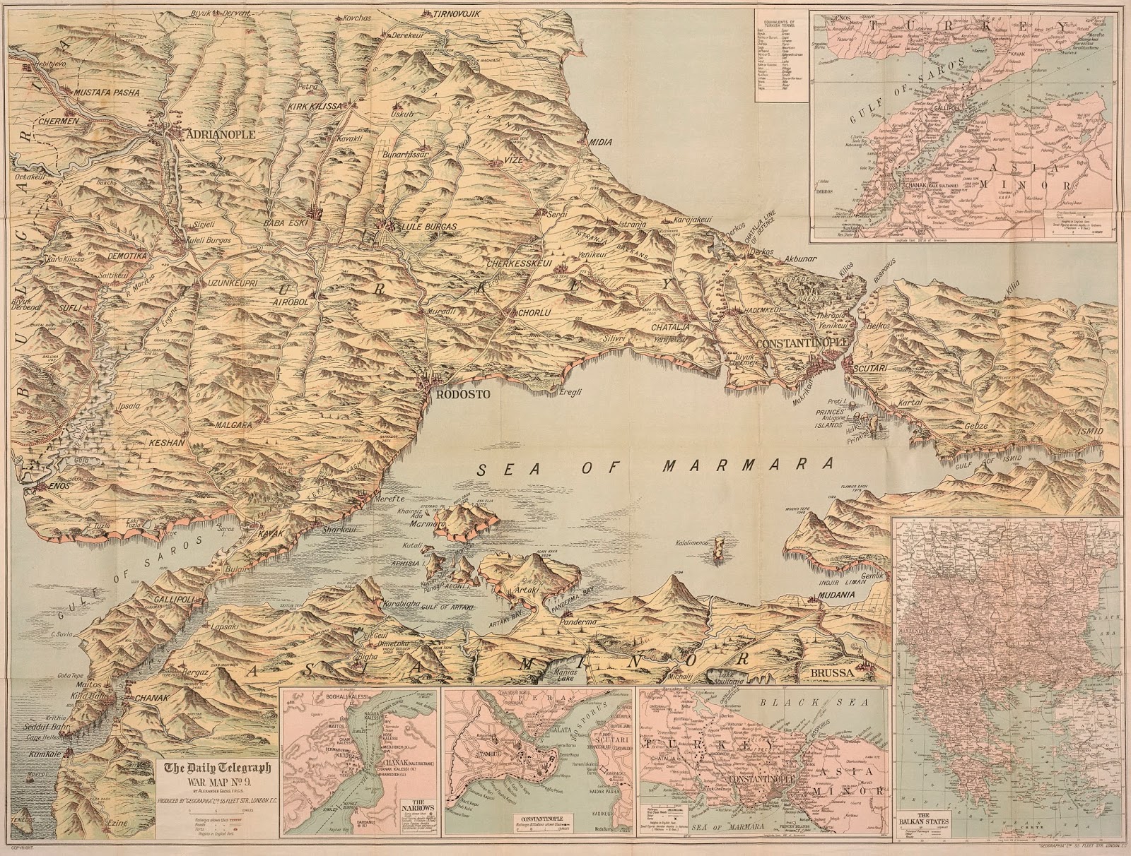
Sir George Grey Special Collections hold a number of First World War maps of Gallipoli and surrounding regions. Seven of these maps have been digitised and are accessible via the Heritage Images database. In April 1915, New Zealand soldiers, alongside those from Australia, Britain and France, invaded the Gallipoli Peninsula. This was to ensure an Allied naval force could break through the Dardanelles Strait and seize or threaten the Ottoman capital of Constantinople, and hopefully the Ottoman Empire might be forced out of the war. The British landed at Cape Helles on the southern tip of the peninsula, while the Australian and New Zealand Army Corps (ANZACs) landed half way up the peninsula, in order to cut off the Ottomans’ supply route to the south. Neither force managed to achieve their primary objectives and the conflict soon turned into a stalemate of trench warfare. Ref: The Daily Telegraph picture map of the Dardanelles... , 1915, Sir George Grey Special C...


