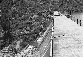
Auckland's waterways
Ref: 4-4589, drawing looking north from Grafton Rd towards the harbour, showing Grafton Road ( foreground), Symonds St, (left), Mount Victoria, North Head & Rangitoto in the distance, c. 1886, Sir George Grey Special Collections One of the themes for the heritage festival is Auckland’s waterways, including the land and sea. The events focused on this theme celebrate water and its many guises in the Auckland region, including as a source of travel, trade, economy, recreation and more. Ref: JTD-05J-03077-2, two women sitting on a swing plank bridge over the Opal Pools Stream, 1942, West Auckland Research Centre Auckland's geography and its waterways have intimately influenced the history of the region. The Auckland isthmus was a rich and desirable location for Māori for many reasons including the rich volcanic soils for gardening and the coastal resources. Ref: B0336, James Stanley Levesque picking tomatoes from the Levesque tomato beds, Birkdale, c. 1920s, from Bir...