Automobile Association maps
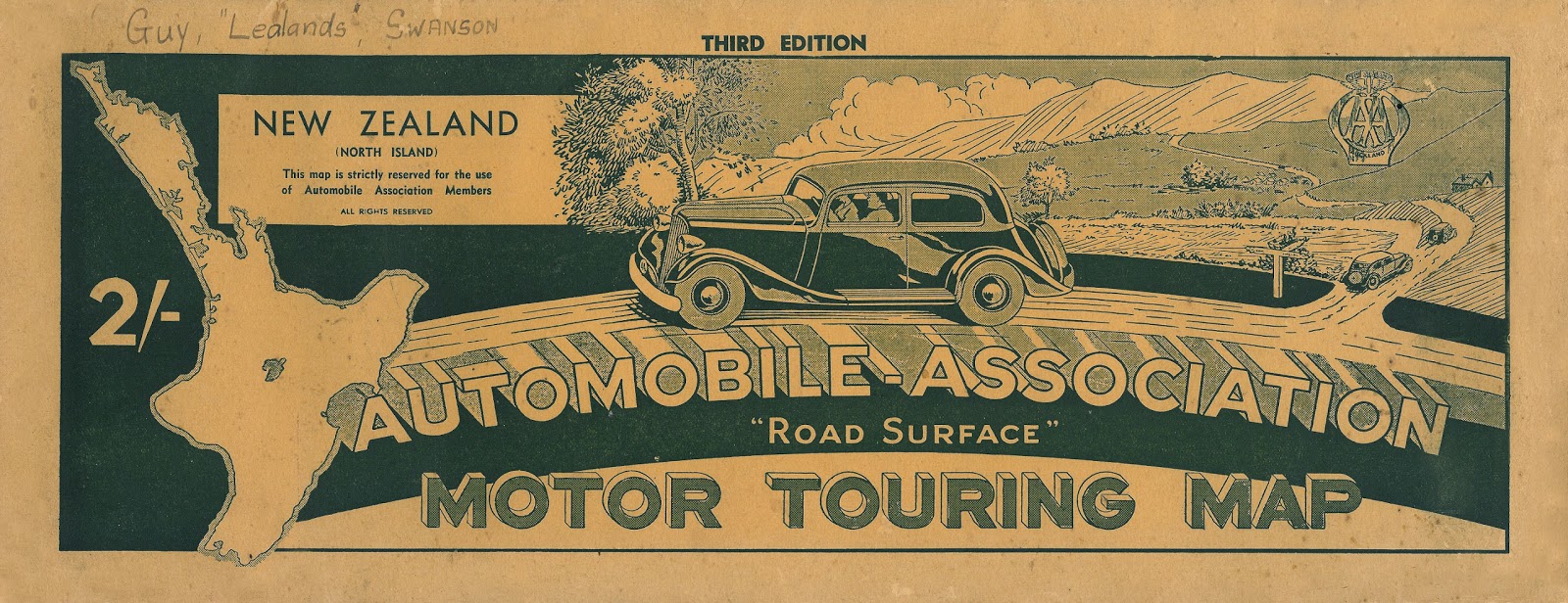 |
| Ref: Automobile Association 'road surface' motor touring map..., 1930s, NZ map 372, Sir George Grey Special Collections, Auckland Libraries. |
The oldest AA map in Sir George Grey Special Collections was published in 1926, and is a road map from Auckland to the North Cape.
 |
| Ref: A selection of AA maps from Sir George Grey Special Collections, Auckland Libraries. Clockwise from top left corner: NZ map 7411, NZ map 7408, NZ map 6363, NZ map 7684, NZ map 7445. |
 |
| Ref: Centennial map of Waitakere Ranges and Scenic Drive, 1945, NZ map 2070, Sir George Grey Special Collections, Auckland Libraries. |
 |
| Ref: A selection of AA maps from Sir George Grey Special Collections, Auckland Libraries. From left: NZ map 1285a, NZ map 670, NZ map 7443. |
 |
| Ref: From left: Itinerary (Whangarei, Kaikohe, Dargaville), about 1974, NZ map 7504, North Island Itinerary (Thames, Coromandel), 1961, NZ map 7512, Sir George Grey Special Collections, Auckland Libraries. |
The two itineraries above include a number of maps and specific information about route options, road conditions, local history and environmental points of interest. From the NZ map 7512 itinerary there is a comment on the Whitianga to Coromandel via Kuaotunu route: "An interesting road, with exceptionally fine coastal scenery, splendid beaches and panoramas of both coasts. The shorter and more direct, but less interesting [route], is described overleaf." Motorists could choose their route maps and staple them together to form personalised itineraries.
 |
| Ref: Auckland map, about 1930, NZ map 6994, Sir George Grey Special Collections, Auckland Libraries. |
The AA maps come in a number of different shapes: they can be thin and long, pocket-sized, large and square, or circular. A small percentage of the maps in Sir George Grey Special Collections have been digitised and are accessible via the Heritage Images database. To find maps in the collection which have not been digitised, you can ask at the reading room desk or by email.
Author: Zoë Colling, Sir George Grey Special Collections.
This comment has been removed by the author.
ReplyDelete